Solutions
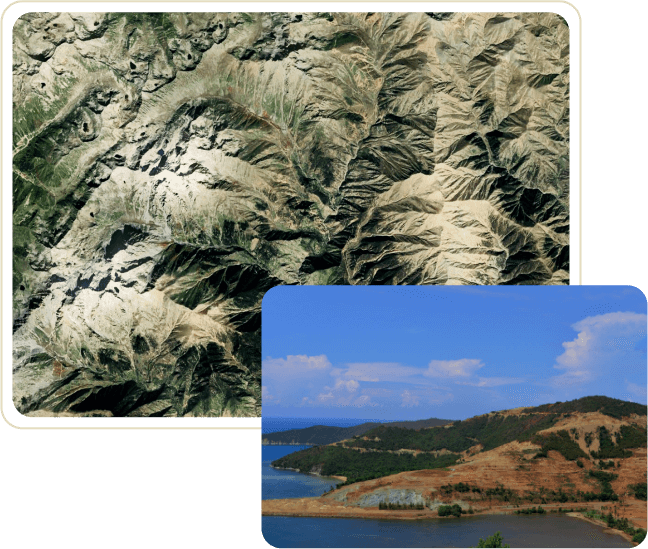
Mining
Mining
Revolutionise the future of critical earth mineral discovery and extraction
- Reduce CAPEX for exploratory critical earth mining and improve ESG using artificial intelligence, high-resolution satellite images, data, and sensors
- Interpretation of aeromagnetic and satellite imagery data to produce structural and geological maps that help target deposits
- Improve demand and supply chain mapping in mining commodities by monitoring different aspects of the supply chain, ranging from mining activity, port inventory and industrial plant production
- Near real-time emission monitoring in mining
Agriculture
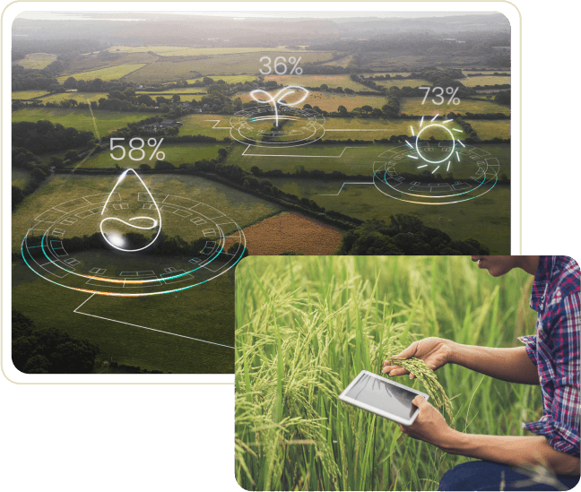
Agriculture
Develop next-generation agri-tech solutions, including precision farming, agri-insurance and agriculture monitoring
- Use real-time data relating crop condition, as well as information on soil, carbon levels, air and temperature to provide analytic insights on crop rotation, planting and harvesting times
- Remotely detect pests and differentiate crop species and weeds to improve crop yield targets and crop health
- Detect changes in land use and cover from high-resolution satellite data, the more accurate assess management of agriculture, forestry and coastal resources
- Improve agri-banking and crop insurance by reducing losses with smarter risk estimates and real-time monitoring
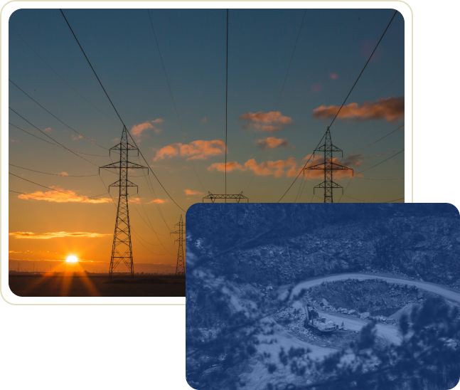
Infrastructure
Infrastructure
Improve management of infrastructure risk through proactive monitoring
- Transmission line planning and route optimization using machine learning and satellite data
- Airport information management using geospatial data and machine learning
- Monitor sophisticated infrastructures for development, site feasibility analysis and risk management
- Rail-road conditions at regional and national levels
- Remote location monitoring of assets and infrastructure
Environment
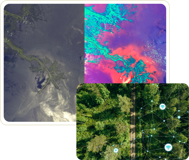
Environment
Protecting the environment through accurate earth observation datasets
- Monitor methane emissions, as well as carbon levels
- Provide more accurate environmental impact assessments through to use of spatially explicit and frequently updated data
- Monitor inland waterway health
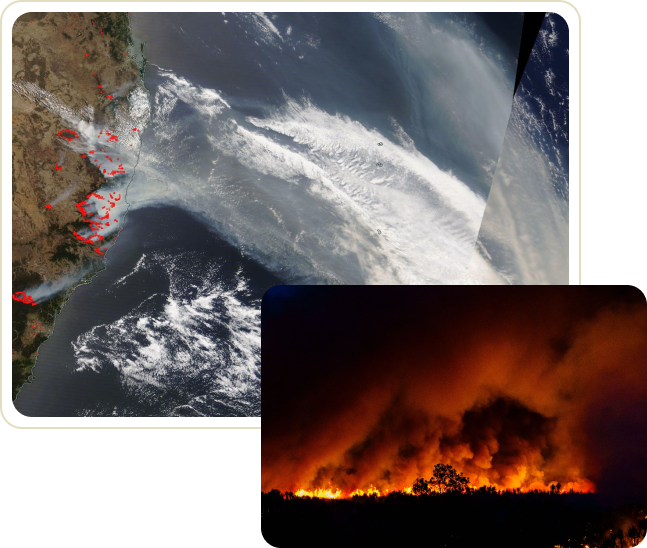
Disaster and Recovery
Disaster and Recovery
Offer solutions to better predict, monitor, assess and respond to natural disasters
- Improve disaster response and management through analysis of natural disasters like earthquake, cyclones, floods, and bushfire damages
- Aid recovery by detecting near real time changes to allow immediate relief measures to be taken during natural calamities
Defence and Security
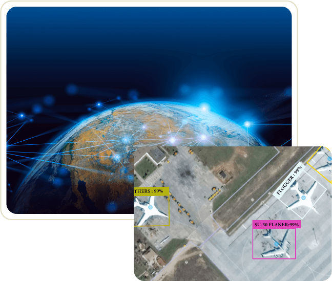
Defence and Security
Use high-resolution satellite data, AI and machine learning to derive intelligent information for defence surveillance and security monitoring
- Identify military resources and troop movement to aid with relief and security efforts
- Detect chemical seepages across land classes